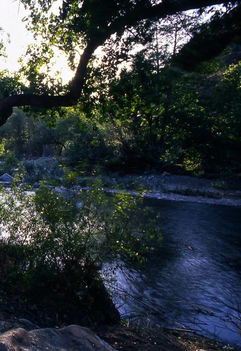
Piru Creek
California
Located in Los Angeles County, Piru Creek drains the rugged and remote Sespe Wilderness and flows into the Santa Clara River. The recreational segment of Piru Creek is located within the Angeles National Forest and starts one-half mile below Pyramid Lake Dam and continues downstream to the Sespe Wilderness boundary. The wild segment is located within the Los Padres National Forest from the wilderness boundary to the boundary between Las Angeles and Ventura Counties.
Piru Creek is one of two streams on the Angeles National Forest being managed for wild trout by the California Department of Fish and Game. Riparian areas provide habitat for several riparian-dependent species, including the federally listed southwestern willow flycatcher, least Bell’s vireo, and California condor. The demand for low-elevation recreation along riparian areas can be observed at the Frenchman’s Flat day use area.
Designated Reach
March 30, 2009. From 0.5 miles downstream of Pyramid Dam at the first bridge crossing to the boundary between Los Angeles and Ventura Counties.
Outstandingly Remarkable Values
Fish
Fisheries in the wild segment of Piru Creek are an outstanding based on the exceptional habitat for resident rainbow trout, including a diversity of lower gradient stream mesohabitats and a lack of infrastructure and development. The steep canyon walls provide shade during hot summer months and may buffer the impacts of increasing temperatures. Due to the relative merits of this high-quality habitat within the region of comparison, the fisheries value is an outstandingly remarkable value in the wild segment of Piru Creek. The population of resident rainbow trout with native ancestry may also be important resources to the recovery of southern California steelhead.
Geology
Piru Creek flows within unique rock formations and features created by the San Gabriel Fault. Scenic tilted layers of sedimentary rocks exist in addition to faults and rock formations with features crucial to the understanding of geological formation on the west coast of North America.
Within the recreational segment, the sedimentary rocks, just below Pyramid Lake, are part of the Ridge Basin Group and display a sequence of terrestrial and marine sedimentary rocks, from the late Miocene through early Pliocene Epochs. These sedimentary rocks are important to the study of the development of the Ridge Basin that coincided with movement on the San Gabriel Fault. These rocks provide critical information about the movement history of the unique Transverse Ranges.
The basement rocks that outcrop in the wild segment on the west side of the San Gabriel Fault are gneisses and migmatites that are banded and form scenic outcrops and boulders along and in the creek. Geologically, these rocks are important because exposures of basement rocks provide important clues to this less well-understood portion of North America’s tectonic history.
The active San Gabriel Fault is one of several important structural features greatly influencing the geologic exposures and geomorphic landforms in southern California. The transition from young sedimentary rocks to old basement rocks, along with the clues each one of these rock types provide in the study and understanding of the San Gabriel and San Andreas faults, are important geologic features within the corridor. In addition to these unique features, the understanding of the development of the west coast of North America and the geomorphic features as deep canyons and pools along the corridor meet the criteria of outstandingly remarkable.

