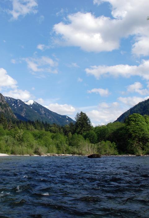
Middle Fork Snoqualmie River
Washington
Less than an hour’s drive from downtown Seattle, the Middle Fork of the Snoqualmie River is one of King County’s last truly wild places, with old-growth forests, alpine lakes and peaks, whitewater rivers, strong native trout runs, and healthy populations of bear, elk, and cougar. Readily accessible to a population of over three million people and treasured by hikers, mountain bikers, fishermen, and whitewater enthusiasts, the Middle Fork Snoqualmie area is one of the most significant outdoor recreation destinations near Seattle. It is also an important source of pure water for the entire Snoqualmie River system.
Designated Reach
December 19, 2014. The 27.4-mile segment from the headwaters of the Middle Fork Snoqualmie River near La Bohn Gap in NE 1/4, Section 20, Township 24 North, Range 13 East, to the northern boundary of Section 11, Township 23 North, Range 9 East.
Outstandingly Remarkable Values
Fish
The presence of wild resident cutthroat trout and their genetic diversity are outstandingly remarkable on the Middle Fork Snoqualmie and Pratt Rivers. Fish in these rivers have been cutoff from the downstream watershed since the last Ice Age due to the presence of Snoqualmie Falls, a barrier to anadromous fish. The Middle Fork Snoqualmie River (and the Pratt River, its tributary) are managed as a wild trout resource by Washington Department of Fish and Wildlife. Fishing is a popular recreational activity in the Middle Fork watershed in both the rivers and lakes.
Recreation
Recreation is an outstandingly remarkable value of the Middle Fork of the Snoqualmie River because of the diversity of year-round opportunities both on and next to the river. The Middle Fork offers opportunities for catch and release fishing year-round, including fishing for resident cutthroat trout. The river provides exceptional beginner-level whitewater opportunities with scenic mountain views. There is also great access for horseback riders. Goldmyer Hot Springs, located on private land within the national forest on the Burntboot Creek tributary, attracts visitors from all over the world where they enjoy soaking in a cave-like setting. The valley’s low elevation, proximity to metropolitan areas, and paved roads allow for high access year-round.

