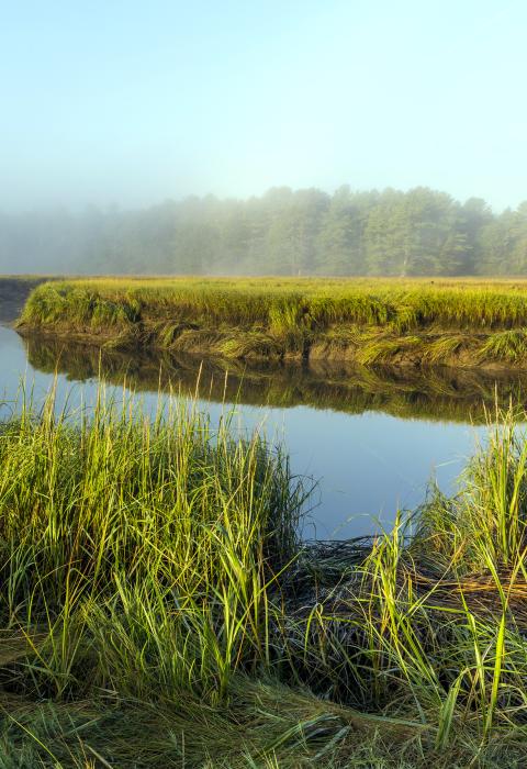
York River
Maine
The York River watershed is located in southern Maine within the towns of Kittery, Eliot, South Berwick and York. The watershed covers 33 square miles and includes the York River mainstem and numerous wetlands, ponds and tributaries, as well as drinking water reservoirs and an extensive salt marsh estuary. The major York River tributaries included in the designation are Bass Cove Creek, Cider Hill Creek, Cutts Ridge Brook, Dolly Gordon Brook, Libby Brook, Rogers Brook, and Smelt Brook. This area is primarily comprised of large, unfragmented forested areas and agricultural lands, along with rural areas and some suburban residential development. The many important habitat areas in the watershed support rare and endangered plant and animal species. The York River and its major tributaries sustain outstanding ecological and historic and cultural resources that are important to the region’s character, economy, and quality of life.
Designated Reach
December 29, 2022. The following segments of the main stem and tributaries:
- Bass Cove Creek from the outlet of Boulter Pond to the confluence with the York River.
- Cider Hill Creek from the Middle Pond Dam to the confluence with the York River.
- Cutts Ridge Brook from the headwaters to the confluence with the York River.
- Dolly Gordon Brook from the headwaters to the confluence with the York River.
- Libby Brook from the headwaters to the confluence with Dolly Gordon Brook.
- Rogers Brook from the headwaters to the confluence with the York River.
- Smelt Brook from the Bell Marsh Reservoir Dam to the confluence with the York River.
- The York River from the outlet of York Pond to the Route 103 Bridge in York, Maine, including Barrell Mill Pond.
Outstandingly Remarkable Values
Ecology
The watershed’s undeveloped uplands contain numerous headwater streams, wetlands, and vernal pools that contribute to excellent water quality and healthy habitats throughout the York River watershed. The presence of both salt and freshwater ecosystems and the convergence of those systems in an estuary contribute to the wide range of special habitats present–including fringing marshes, salt marshes, tidal flats, and the nutrient-rich tidal marsh estuary. These robust habitats support a diversity of plant and animal species, making this the area of Maine with the greatest diversity of threatened and endangered species in the state. The estuary’s salt marshes provide excellent spawning and nursery habitat for diadromous and estuarine fish, and they serve as a vital roosting and feeding area for tidal wading birds and waterfowl. In addition to being aesthetically pleasing, resilient costal ecosystems provide erosion protection, serve as coastal storm buffers, and filter sediment and pollutants before they reach coastal waters.
History
The long and diverse history of the York River area is preserved by the rich set of river-related cultural and historic resources found in the area today. Paleoindian archaeological sites in the watershed firmly establish Native American presence in the watershed ca. 11,000 BP (Before Present). Dating back to 1622, Euro-American archaeological sites and historic buildings in the watershed offer a unique glimpse into the lives of some of the earliest European settlers in the country and document the formative period in the nation’s history and development. There is a history of fishing, timber harvest, ship-making, brick-making, and coastal shipping that developed as a result of the settlement on the banks of the York River. As well as being historic, the York River harbor remains an active working waterfront important to the local economy and character. With one historic district and eight individual sites listed on the National Register of Historic Places, the York River’s historic resources help to preserve regional and national heritage.
Water Quality
The high water quality of the York River supports many uses and provides excellent aquatic habitats for fish and other species. Recreational fishing, swimming and boating; drinking water supplies; and riverine habitat and wildlife are all supported by the high water quality of the York River and its tributaries. Many York River headwater streams flow through large blocks of protected forests around York Pond, Bell Marsh Reservoir, and the Kittery Water District’s supply ponds, providing exceptional water quality for habitats and users downstream. The river’s water quality is further protected by extensive fringing salt marshes and naturally vegetated buffers throughout the watershed. A testament to the high water quality, the several ponds and reservoirs in the York River watershed are examples of the few surface drinking water supplies left in southern Maine. Categorized by the state of Maine as a Class B waters, the York River watershed attains fishable, swimmable standards established by the Clean Water Act.

