Little Miami River
Ohio
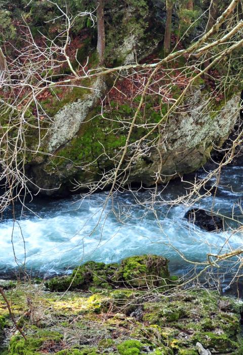
The Little Miami River originates near Clifton Gorge State Nature Preserve and National Natural Landmark. Flowing through a deep gorge, wooded bluffs, and rolling farmlands, it is located between Dayton and Cincinnati, placing it within an hour's drive of over three million people. The Little Miami River corridor contains some of the most scenic, interesting, and diverse natural features in the state of Ohio. For much of its length, it is a pleasant stream, flowing alternately through a deep gorge, steep wooded slopes, pleasant farmlands, and occasional small riverside communities. Even though man's activities are evident along many parts of the river' s edge, the river is relatively undeveloped when compared to other Ohio streams. Swift water is found only in short stretches between the pools and generally only in the bends of the river.
Designated Reach
August 20, 1973, and January 11, 1981. From State Highway 72 at Clifton to the Ohio River, including the lower two miles of Caesars Creek.
Outstandingly Remarkable Values
Botany
Botanically, the most outstanding area of the Little Miami Valley occurs in the upper reaches where the river flows through Clifton Gorge. Here the narrow, rocky gorge with sheer cliffs shelter the valley floor and produce an abundance of flora. There have been 322 different species of wildflowers and 104 species of woody plants identified and listed for the Clifton Gorge-John Bryan State Park area. This is an exceptionally wide variety of plants to be found within an area of its size.
Fish
A substantial sport fishery exists in the Little Miami for smallmouth and largemouth bass, spotted bass, channel catfish, flathead catfish, rock bass, bluegill, and the common sucker. The Little Miami River is a significant nursery ground for the sport fishery in the lower portion of the Ohio River. The Little Miami River is also valuable as a spawning stream for commercial finfish of the Ohio River, such as channel catfish, freshwater drum, and buffalo fish. The Little Miami supports 94 of over 170 finfish species found in Ohio.
Geology
The Little Miami Valley is an area of considerable geological interest. The basin is crossed by what was the southern boundary of the Wisconsin Age Glacier and by the boundaries of rock formations from two major geological periods—the Ordovician and the Silurian. The most impressive evidence of the effects of the varied geological history is found at Clifton Gorge. Collecting sites for invertebrate fossils are numerous near the Little Miami River.
History
There are numerous sites of historical interest, of national as well as local scope. The Little Miami River provided an easy pathway through the thick forest of pioneer times, and at least three military expeditions used this pathway. In addition, there are numerous mills that provided service for early settlers and taverns which provided rest for travelers.
Prehistory
The Little Miami River region contains many Indian camps and earthworks. The best known of these is Fort Ancient, the home at different times of two distinct prehistoric Indian tribes.
Recreation
The river is one of the state's better smallmouth bass streams, and fishing is presently one of the major recreational uses of the river. Much of the Little Miami is usable for canoeing as there is sufficient water during most of the year. The low degree of difficulty and the leisurely pace of the river, enhanced by a meandering channel marked by occasional riffles, make a trip on the Little Miami an enjoyable experience for the average canoeist. Due to its natural attractiveness and relationship to several large metropolitan areas, driving for pleasure and sightseeing within the Little Miami Valley are popular recreation activities.
Wildlife
Bird life is one of the Little Miami’s outstanding categories of fauna. A total of 199 species of birds use the area on an annual basis. There are 27 permanent bird residents, 9 winter residents and visitors, 59 summer residents, and 104 spring and fall migrants. Approximately half, or 109 species, regularly nest in the Little Miami basin. It is an important natural laboratory, located within easy reach of several million people.

