Whychus Creek
Oregon
The name Whychus, meaning "the place we cross the water," was chosen for the creek based on its strong historical usage. The three forks of Whychus Creek begin in the Three Sisters Wilderness on the east slope of the Cascade Range in Central Oregon.
Designated Reach
October 28, 1988. From its source to the gauging station 800 feet upstream from the intake of McAllister Ditch.
Outstandingly Remarkable Values
Fish
Fish populations have regional significance because of native strain of interior Columbia Basin redband trout with little genetic influence from hatchery fish and immanent reintroduction of federally listed steelhead.
Geology
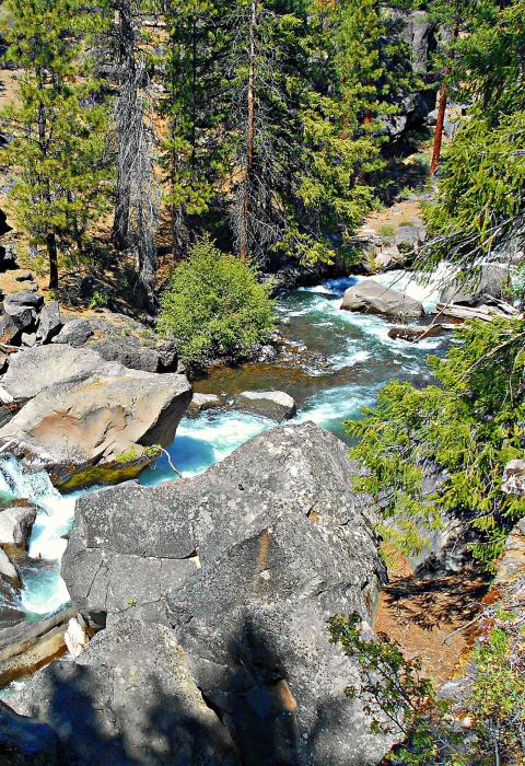
There is a concentration of diverse and varied geologic features unique to central Oregon in the river corridor. Glacial and volcanic events have created complex and diverse landscapes, including steep and narrow canyons, deep bedrock canyons, numerous waterfalls, and a variety of channel shapes and gradients.
Native American Traditional Use
Whychus Creek has a long history of use by Native Americans and provided a travel corridor to and from obsidian sources in the high Cascades. Traditional use by Native Americans is well-documented.
Scenery
The wild, unmodified scenery of the corridor is unique in the region, with distinctive elements provided by the change in elevation and varied geologic features. The headwaters of Whychus Creek, the glaciers on the Three Sisters Mountains, are a symbol of central Oregon and widely photographed.

