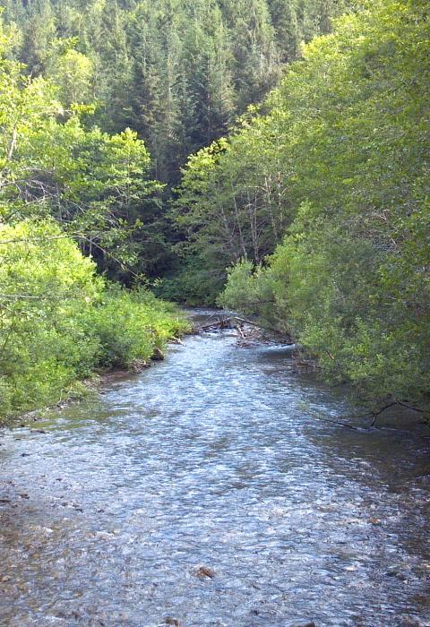
Illabot Creek
Washington
Illabot Creek begins 7,500 feet high in the southern portion of the Mount Baker-Snoqualmie National Forest and drains into the Skagit River in Rockport, Washington. It is a small, but significant, tributary of the Skagit. It has miles of great salmon, steelhead, bull trout, and bald eagle habitat. Where that habitat had been historically compromised, some crucial, ongoing habitat restoration work is currently underway. Illabot Creek wasn’t included in the original wild and scenic river designation of the Skagit River system but was added thirty-five years later as its own designation. Advocates and ecologists always recognized its importance to the Skagit’s network of spawning habitat, and in December of 2014, a little over 14 miles of Illabot Creek was added to the National Wild and Scenic Rivers System.
Designated Reach
December 19, 2014. From the headwaters of Illabot Creek to approximately two miles upstream from its confluence with the Skagit River and just south of the Rockport-Cascade Road.
Outstandingly Remarkable Values
Fish
Puget Sound chinook, steelhead, and bull trout are listed under the Endangered Species Act, and Illabot Creek provides exceptional spawning and rearing habitat for summer and fall chinook, coho, chum, and pink salmon; native steelhead; and one of the largest populations of bull trout in the Skagit River watershed. Illabot Creek also supports the highest density of chum and pink salmon in the Skagit River watershed.
Wildlife
The Illabot Creek Conservation Area provides important habitat for bald eagle populations that winter along the Skagit River and feed on winter salmon runs; the Skagit River supports some of the highest concentrations of wintering bald eagles in the continental United States. Land immediately adjacent to the protected property is part of the Skagit River Bald Eagle Natural Area, a mosaic of public and private lands protected and managed to support wintering populations of bald eagles along the Skagit River.
Additionally, Illabot Creek is bordered by a mature riparian forest that provides habitat for many species of wildlife, including beaver, cougar, black bear, coyote, deer, and ruffed grouse. Flooding is an important ecological process that creates a diversity of habitat types, including woodlands, shrublands, wet meadows, and marshes, all of which are adapted to specific flooding cycles. The creek’s relationship to the surrounding forest results in many benefits, including improving water quality, providing shade to cool stream temperatures, and serving as a source of large woody debris to the Skagit River.

