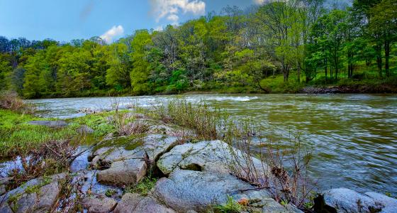
There are 17 designated river basins in North Carolina. A river basin can be defined as all of the land surface dissected and drained by many streams and creeks that flow downhill into one another, and eventually into one river. Just as a bathtub catches all the water that falls within its sides, a river basin sends all the water falling on the surrounding land into a central river and ultimately out to the sea. In North Carolina, the five western basins drain to the Gulf of Mexico (Hiwassee, Little Tennessee, French Broad, Watauga, and New). The other 12 basins flow to the Atlantic Ocean. Only four basins are contained entirely within the state (Cape Fear, Neuse, White Oak, and Tar-Pamlico).
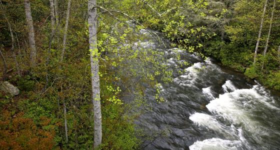
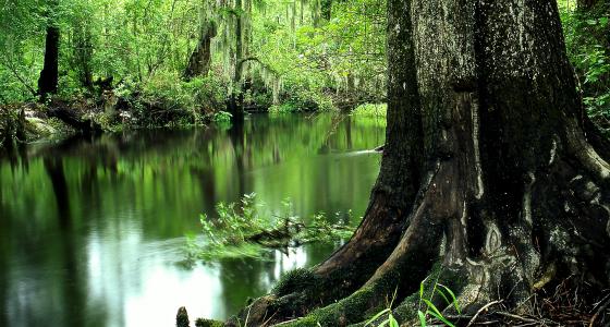
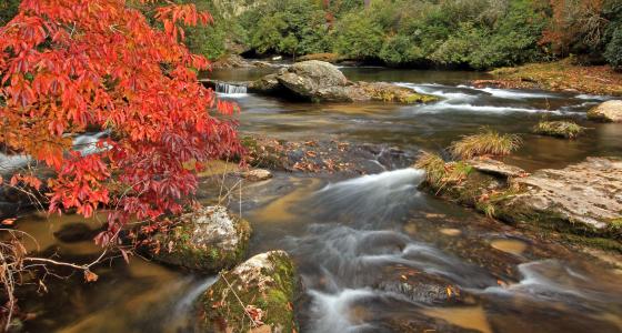
North Carolina has approximately 37,853 miles of river, of which 144.5 miles are designated as wild & scenic—less than 4/10ths of 1% of the state's river miles.