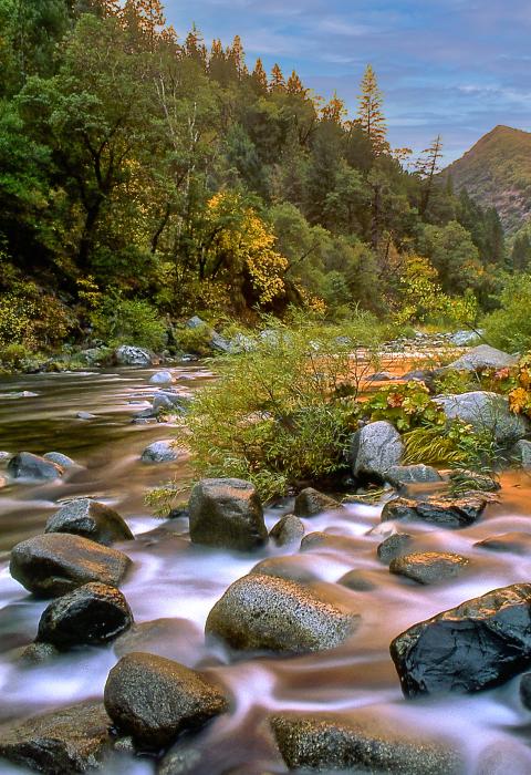
Feather River
California
The Middle Fork of the Feather River runs from it headwaters near Beckwourth, California, to Lake Oroville. The river gradient varies from gentle at the upper end to very steep in the deep canyons of the lower reaches. The adjacent lands range from the most primitive imaginable to manicured golf courses and residential area. Access is good by oiled roads in the upper portion and is nonexistent mile after mile in the wild river zones.
The Feather River was one of the first nationally designated wild and scenic rivers as part of the 1968 Wild & Scenic Rivers Act.
Designated Reach
October 2, 1968. The entire Middle Fork downstream from the confluence of its tributary streams one kilometer south of Beckwourth, California.
Outstandingly Remarkable Values
Fish
The Middle Fork supports one of the best wild trout fisheries in California. The lower 36 miles of the river flows through a 35,000-acre roadless area crossed by one road at Milsap Bar; the roadless character of the Middle Fork watershed is an important contributing factor to the river’s high biotic integrity, excellent water quality, and wild trout fishery.
Recreation
The Pacific Crest Trail crosses the river and other steep backcountry trails provide access for adventurous anglers, hunters, and hikers. The river is also prized by expert kayakers and rafters as providing one of the most remote and demanding whitewater adventures in the state.
Scenery
In the wild sections, huge boulders, cliffs, and waterfalls are a part of the natural beauty of the area, but can make navigating the river and hiking difficult. There are scenic opportunities throughout the river corridor. In the summer, the sun sparkles off the river, and in the fall, the beautiful colors along the steep mountain slopes make autumn spectacular. Bald eagles, mule deer, and beaver are just a few of the varieties of wildlife you can expect to see.

