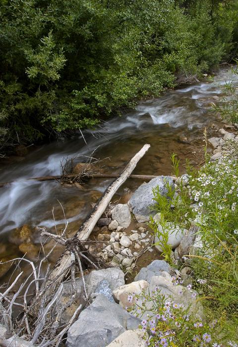
Snake River Headwaters
Wyoming
The Snake River Headwaters encompasses parts of Yellowstone and Grand Teton National Parks, the John D. Rockefeller Memorial Parkway, the National Elk Refuge, and the Bridger-Teton National Forest. The river lies at the heart of the Greater Yellowstone Area, often referred to as one of the last intact functioning temperate ecosystems on earth. Thus, the rivers included in the Snake River Headwaters Legacy Act of 2009 are among the most pristine in the nation. They have many outstandingly remarkable values and offer myriad recreational opportunities.
Designated Reach
March 30, 2009.
- Bailey Creek from the divide with the Little Greys River north to its confluence with the Snake River.
- Blackrock Creek from its source to the Bridger-Teton National Forest boundary.
- The Buffalo Fork of the Snake River consisting of: the North Fork, Soda Fork, and the South Fork, upstream from Turpin Meadows; and the Buffalo Fork from Turpin Meadows to its confluence with the Snake River.
- Crystal Creek from its source to its confluence with the Gros Ventre River.
- Granite Creek from its source to the end of Granite Creek Road and from Granite Hot Springs to the point one mile upstream from its confluence with the Hoback River.
- The Gros Ventre River from its source to the upstream boundary of Grand Teton National Park, excluding the section along Lower Slide Lake, and the segment flowing across the southern boundary of Grand Teton National Park to the Highlands Drive Loop Bridge.
- The Hoback River from the point 10 miles upstream from its confluence with the Snake River to its confluence with the Snake River.
- The Lewis River from Shoshone Lake to Lewis Lake and from the outlet of Lewis Lake to its confluence with the Snake River.
- Pacific Creek from its source to its confluence with the Snake River.
- Shoal Creek from its source to the point eight miles downstream from its source.
- The Snake River from its source to Jackson Lake, from one mile downstream of Jackson Lake Dam to one mile downstream of the Teton Park Road Bridge at Moose, Wyoming, and from the mouth of the Hoback River to the point one mile upstream from the Highway 89 Bridge at Alpine Junction.
- Willow Creek from the point 16.2 miles upstream from its confluence with the Hoback River to its confluence with the Hoback River.
- Wolf Creek from its source to its confluence with the Snake River.
Outstandingly Remarkable Values
Culture
Human use along the Snake River Headwaters encompasses thousands of years of diverse cultures and uses. American Indian and early-twentieth century American cultures flourished along these rivers, because they provided a corridor for travel through inaccessible terrain and sustenance for travelers. Evidence of Native American travel and settlement, fur trapping, exploration, early European-American settlement, tourism, dude ranching, public lands management, and conservation activities is reflected in archeological sites, historic buildings, and cultural landscapes along the river corridors. Natural and cultural resources continue to carry cultural significance to American Indian Tribes and others today.
Ecology
The Yellowstone Ecosystem is the largest intact ecological unit in the lower 48 states. Natural processes—such as fire, flooding, landslides, plant succession, wildlife migration, and predator-prey dynamics—profoundly affect the Snake River Headwaters landscape and its biota. Beaver in all of the streams act as a keystone species, making way for waterfowl and riparian plant communities that are unique to the region. Nationally important wildlife populations include the Jackson elk herd (the largest in the world), the Yellowstone grizzly bear and gray wolf populations (the southern-most in North America), Tri-State trumpeter swans (the largest native resident population in the lower 48 states), the only nesting common loons in Wyoming, and substantial recovered nesting populations of bald eagles and peregrine falcons. Four of North America’s largest carnivores—grizzly and black bears, wolves, and cougars—occur along with seven native ungulates—moose, mule and white-tailed deer, bison, elk, pronghorn, and bighorn sheep—in an ecologically dynamic system rivaled in few places on earth.
Fish
The Snake River Headwaters provides a unique fishery in its historic native range for the Snake River finespotted and Yellowstone cutthroat trout, which are both nationally significant. The Headwaters contain a diverse community of other native species, including regionally significant populations of northern leatherside chub and bluehead sucker. The community of native fish also includes whitefish, suckers, dace, and sculpins. Spawning, rearing, and adult habitats are characterized by excellent water quality, few natural or man-made barriers, and a diverse and abundant macro-invertebrate community supporting naturally reproducing and genetically pure populations of native fish.
Geology
The Snake River Headwaters lie within a seismically and geomorphically active zone where dynamic geologic processes continue to shape the landscape. Unique features include geothermal springs and landslides. In addition, the Snake River is a textbook example of a naturally braided river system, despite the presence of Jackson Lake Dam on the mainstem.
Scenery
The Headwaters flow through an iconic landscape dominated by the Yellowstone Plateau and the Teton Range. Seasonal and climatic variations of vegetation, combined with water features, clean air, and landforms, create varied scenescapes such as incredible fall color displays and winter wonderlands. These elements combine to offer a landscape character throughout the Snake River Headwaters that is unique and unforgettable on a scale that draws visitors from all over the world.
Recreation
The Snake River Headwaters is a place where visitors have been encouraged to establish memorable relationships and a ‘sense of place.’ There is a diverse spectrum of year-round, river-related activities within a variety of settings, ranging from easily accessible social opportunities to rustic peaceful settings along low volume gravel roads to wild quiet settings accessible by horse or foot trails, where solitude is a primary value. The diversity of landscapes and waters—ranging from small fast moving streams to meandering rivers and challenging whitewater—also provides recreationists opportunities for skill development progression whether the activity is bank fishing, float fishing, kayaking, rafting, hiking, horseback riding and backcountry camping along the waterways.

