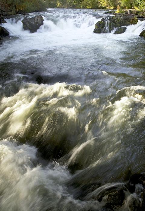
White Salmon River
Washington
The White Salmon River originates within the Gifford Pinchot National Forest on the western slopes of Mount Adams and flows downstream to its confluence with the Columbia River. There are two designated portions of the White Salmon River, the upper White Salmon, which includes Cascade Creek, and the lower White Salmon.
The upper White Salmon River originates as a spring in a forested portion of the Mount Adams Wilderness not far from the Pacific Crest Trail. Its tributary, Cascade Creek, originates at the foot of the White Salmon and Avalanche glaciers in the Mt. Adams Wilderness and travels through subalpine terrain before entering forest. After Cascade Creek joins the White Salmon, the river descends into a deep canyon characterized by late successional and old-growth forest and bedrock outcroppings. Water quality is high in both the upper White Salmon River and Cascade Creek. Water temperatures remain low throughout the year, indicative of its groundwater source.
This lower White Salmon River is located in south-central Washington upstream from the town of White Salmon. Numerous seeps and springs found along the canyon walls provide a consistently cold and sustained flow of water year-round. The clear, blue waters and unique beauty draw visitors to the White Salmon River as well as the opportunity for an exciting ride as the river drops 50 feet per mile.
Designated Reach
November 17, 1986. From its confluence with Gilmer Creek, near the town of B Z Corner, to its confluence with Buck Creek.
August 2, 2005. White Salmon River from its headwaters to the boundary of the Gifford Pinchot National Forest. Cascade Creek from its headwaters to its confluence with the White Salmon River. This designation is not contiguous with the 1986 designation farther downstream.
Outstandingly Remarkable Values
Culture
There is a Native American longhouse site and cemetery located near Rattlesnake Creek. This site is one of the earliest locations for Washat ceremonies and is particularly important because of its religious significance to the Yakama Nation.
Fish
This river segment has one of the three best resident trout fisheries in the region, based on fish size and abundance. The most important species and rainbow trout and eastern brook trout.
Geology
Although the geology of the upper White Salmon River drainage basin is similar in character to that of other rivers originating on the flanks of volcanoes within the region, the geomorphic landforms and processes that formed them are not. Narrow bedrock river canyons within the region are relatively rare, and the gorge through which the upper White Salmon flows is notable for its length and continuous vertical walls. Additionally, glacial processes occurring in the headwaters of the White Salmon River drainage basin are not found anywhere else within the region.
Hydrology
High-volume springs emanating from volcanic rocks of Mount Adams form the headwaters of the White Salmon River and contribute significant quantities of flow. Discharge in the upper White Salmon River is further built by glacial meltwater from Cascade Creek and other tributaries. The hydrologic character is exemplary of both spring-fed and glacially fed streams as the upper White Salmon River displays both exceptionally cold water and consistent year-round flows.
Recreation
This river is one of the few rivers in the region that has Class III+ rapids located in a natural setting and is runnable nearly year-round because of the rivers’ sustained flow levels. Continuous Class I, II, and III rapids with an occasional Class IV keep boaters on their toes. Husum Falls is rated Class V and should always be portaged.
Scenery
The river has spectacular long distance views and striking alpine landscape features. Glacial waters combine with cold, clear, springs, supporting a lush, green ribbon of plant life through the pine-oak woodlands.The change in elevation and water features over this river system results in highly diverse scenery and visual attractions. The steep gradient and narrow canyon focus the viewer's perspective on the water's interaction with its watercourse, rock formations, and riparian vegetation, with past human activities noticed only occasionally. The presence of exposed bedrock outcrops and the narrow rock gorge constitute a distinctive landscape, are uncommon within the region of comparison, and give the upper White Salmon River its high scenic value.

