Wyoming is situated astride the Continental Divide and, as a result, send wants to both the Pacific and Atlantic oceans and provides the headwaters for four major river basins in the western United States—the Missouri-Mississippi, Green-Colorado, Snake-Columbia, and Great Salt Lake.
The Yellowstone, Wind, Bighorn, and Shoshone rivers in northwestern Wyoming; the Tongue, Powder, Belle Fourche, Cheyenne, and Niobrara rivers in northeastern Wyoming; and the North Platte and Laramie rivers in southeastern Wyoming are all headwaters of the Missouri-Mississippi River Basin. Approximately 72 percent of Wyoming’s land area drains into and is part of the headwaters of the Missouri-Mississippi River Basin.
Other major basins include the Green and Little Snake rivers in southwestern and south-central Wyoming—which are part of the headwaters of the Colorado River—the Bear River along the southwestern border of Wyoming—which drains into the Great Salt Lake Basin—and the Snake and Salt rivers, along the Idaho border in northwestern Wyoming, which are part of the headwaters for the Snake-Columbia River Basin. In addition to these four major river basins, about four percent of Wyoming’s land area is in the Great Divide closed basin. This area is part of the Red Desert west of Rawlins.
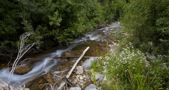
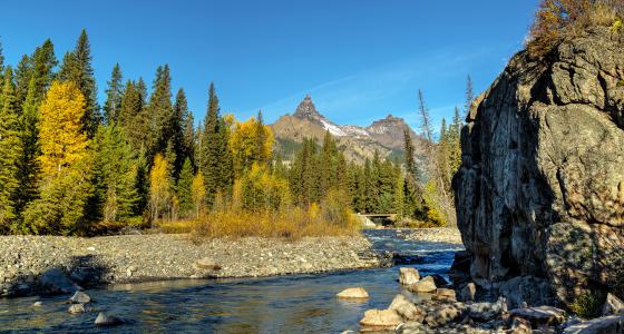
Wyoming has approximately 108,767 miles of river, of which 408 miles are designated as wild and scenic—less than 4/10ths of 1% of the state’s river miles.