Delaware (Middle) River
Delaware (Middle) River
New Jersey, Pennsylvania
The Delaware River is one of the last large free-flowing rivers left in the contiguous 48 states, one of the last major rivers without any dams or control structures on its main stem. This segment of the Delaware flows through the Delaware Water Gap National Recreation Area and cuts an "S" curve through Kittatinny Ridge. This beautiful landscape provides great recreational opportunities in addition to sightseeing and geological study value.
Designated Reach
November 10, 1978. The segment from the point where the river crosses the northern boundary of the Delaware Water Gap National Recreation Area to the point where the river crosses the southern boundary.
Outstandingly Remarkable Values
Culture
The cultural significance of the middle Delaware River Valley is typified by the continuous human presence throughout the Holocene, which is documented by a rich tapestry of river-focused living.
The Delaware Water Gap National Recreation Area has close to 500 documented American Indian archeological sites of which over 100 are currently considered eligible for the National Register of Historic Places. Three-quarters of these archeological sites are found in the Middle Delaware River floodplain. This complex of American Indian sites is one of the best preserved in the northeastern United States, making it a high-value research area for archeologists and geo-archeologists.
Ecology
The middle section of the river is a vital component of, and contributes substantially to, the exceptional ecological integrity of the Delaware River. Like the upper Delaware River, this section of the Delaware flows through the Appalachian Plateau and Ridge and Valley geological provinces but has a lower gradient and more expansive floodplain. The integrity, diversity, and productivity of aquatic and riparian communities culminates in thriving populations of water-dependent mammals like river otter, beaver, and mink; and birds like common mergansers, green and blue herons, belted kingfishers, rough-winged swallows, cerulean warblers, and ospreys.
Geology
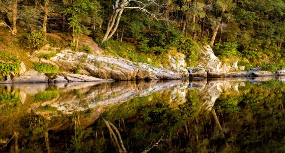
River follows the boundary between two physiographic regions—the Appalachian Plateau and the Ridge and Valley. The river then dramatically cuts across the Appalachian Ridge at Delaware Water Gap, a signature geologic feature along the Delaware River system. The elevation of the valley varies from 300 to 400 feet above sea level and the adjacent highlands rise an additional 600 to 1,000 feet.
A large rock formation along this section of river is known as Indian Rock, an outcrop diving into the river, where the water is up to 50 feet deep. The area also has doubly plunging folds that form complex outcrop patterns along the shoreline, such as the Five Loaves that look like multiple loaves of bread.
Recreation
Close proximity to major metropolitan areas encourages first-time adventurers and life-long nature enthusiasts to enjoy the Delaware River and the remote natural experiences along the largely undeveloped river shoreline.
The middle Delaware River is surrounded almost completely by the Delaware Water Gap National Recreation Area, providing access to the corridor for a wide variety of quality year-round recreational opportunities.
Scenery
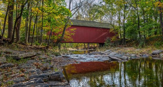
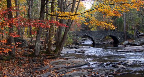
The middle Delaware River is framed by the mountains of the Kittitinny Ridge (New Jersey) and the cliffs of the Pocono Plateau (Pennsylvania). From Mashipacong Island south to Walpack Bend, the river visitor is immersed in the striking river valley scenery. The visitor sees a diversity of primarily natural landscapes interspersed with cultural resources, ranging from steep forested slopes to the broader floodplain valley, with dramatic bends in the river, culminating at the iconic Delaware Water Gap.